Home/Work/Satellite image segmentation
Case study · Attentive AI · Geospatial AI · 2021–22
Satellite image segmentation
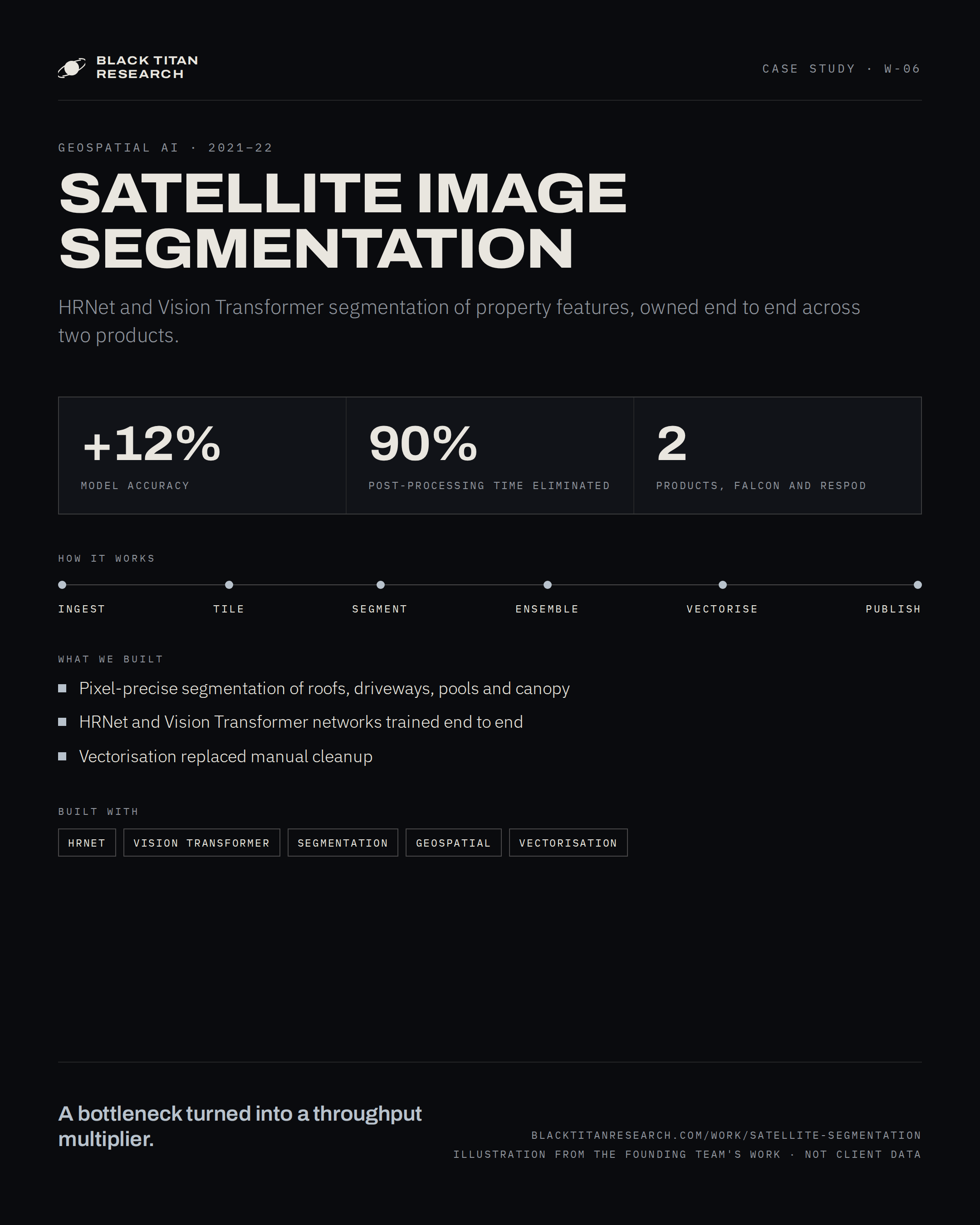
Two computer-vision products, Falcon and Respod, that turn satellite imagery into property features with HRNet and Vision Transformer segmentation networks, owned end to end from data to serving.
- EmployerAttentive AI
- RoleCV research engineer · product owner
- Period2021 – 2022
- SectorGeospatial AI
§ 01 — Problem
Extracting property features from satellite imagery demanded pixel-precise segmentation: roofs, driveways, pools, tree canopy and lawn, each separated cleanly from its neighbours at the resolution of the source tile. Model output still needed heavy manual post-processing before it was usable. Every mask had to be cleaned, closed and converted by hand before it could become a feature a product could ship.
The requirement was a pipeline whose output is usable as it leaves the model: masks accurate enough to trust, and a post-processing stack that turns them into vector features without a person in the loop.
§ 02 — Architecture
Two networks, one feature pipeline.
Satellite tiles are segmented by HRNet and a Vision Transformer, ensembled, served, and vectorised into property features for both products.
§ 03 — How it works
One tile, from pixels to property features.
The animation follows a single aerial tile through ingestion, tiling, segmentation, ensembling, vectorisation and publishing.
Diagrams and films on this page are illustrations of the system's architecture and behaviour, drawn from my work at Attentive AI. They are not screenshots or recordings of production systems, which remain confidential.
§ 04 — Approach
Models
- Two state-of-the-art segmentation network families, HRNet and Vision Transformers, trained end to end on satellite imagery.
- Semantic segmentation of property features at pixel precision, with the two networks' masks ensembled into one output.
- Model accuracy lifted by 12% over the previous models.
Products
- Falcon and Respod owned end to end across the company: data, training, serving and the post-processing stack.
- Post-processing rebuilt around vectorisation of the masks, so output leaves the pipeline as usable features.
- 90% of post-processing time eliminated; the stage that had been a bottleneck became a throughput multiplier.
§ 05 — Impact
Model accuracy rose by 12% and 90% of post-processing time was eliminated, turning a bottleneck into a throughput multiplier for both products.
What generalises: the model and its post-processing are one product. Owning data, training, serving and vectorisation together is what let a gain in segmentation accuracy become a gain in throughput, with the same two people responsible for every stage in between.